🧭 Factsheet
Route: From Milford Haven to Newlyn
Dates: 9 to 21 September 2026
Distance logged: 147 nautical miles
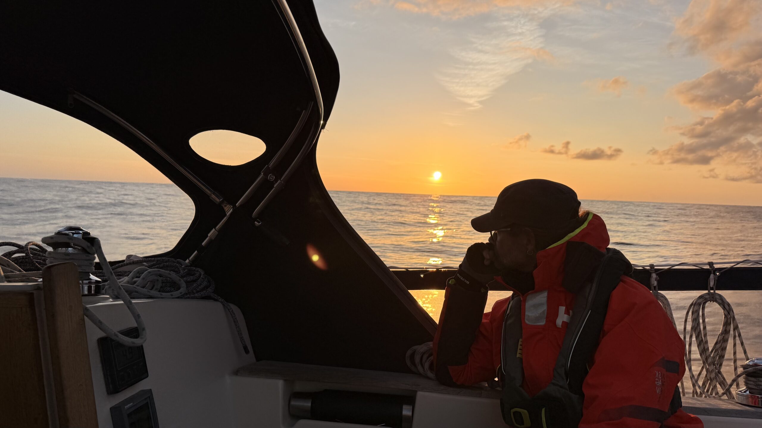
Highlight: A star-filled sky at new moon in the middle of the Bristol Channel.
📍 Our route & passages
Passage: Milford Haven → Dale
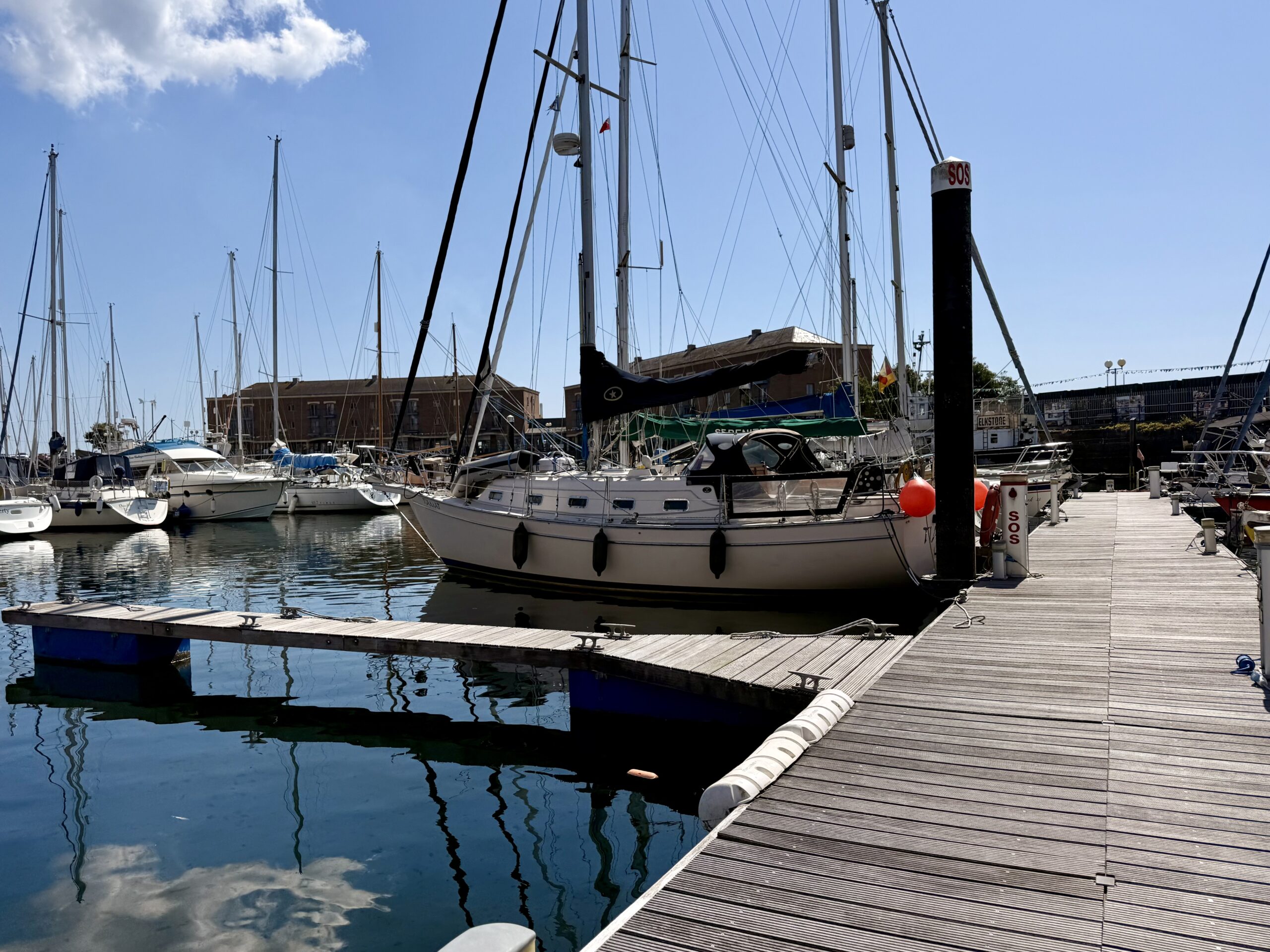
We spent a long time waiting in Milford Haven for a suitable weather window to reach either the Scilly Islands or the south coast via Land’s End. But by September, conditions are no longer as stable as they are in the height of summer. There was always a favourable wind for one day, never two. Yet we needed two days of settled weather for the roughly 120 miles.
Combined with the tidal constraints on rounding Land’s End and the hours of daylight, this made things tricky: we wanted neither to round Land’s End nor to arrive in the Scillies in the dark. There are nets and crab pots all along the British coast, and you really don’t want them in your propeller, especially at night.
So we planned something we had been trying to avoid for a long time: a stop in Padstow. To do that, we left Milford Haven during the free-flow lock opening after high water and moved to the anchorage off Dale. It lies just before the entrance to Milford Bay and would save us an hour’s passage time the next day. To enjoy another two lovely evenings with our new friends from Trotamar4, we moored together at the deep-water pontoon in the anchorage. That turned out to be a mistake. Even with a north-westerly wind, so much swell sometimes curled into the bay that a peaceful berth was out of the question. Laying at anchor would have been the better choice.
Passage: Dale → Padstow
After two days, we could finally set off for Padstow. At first, the harbour looked tricky to approach because of its location in the Camel River. But it turned out that, with the right timing, it was no problem even at spring tides. We started the 75-mile passage at half past two, shortly before the afternoon high water, allowing around 16 hours to arrive at dawn. High water in Padstow was at seven in the morning, so that should work nicely.
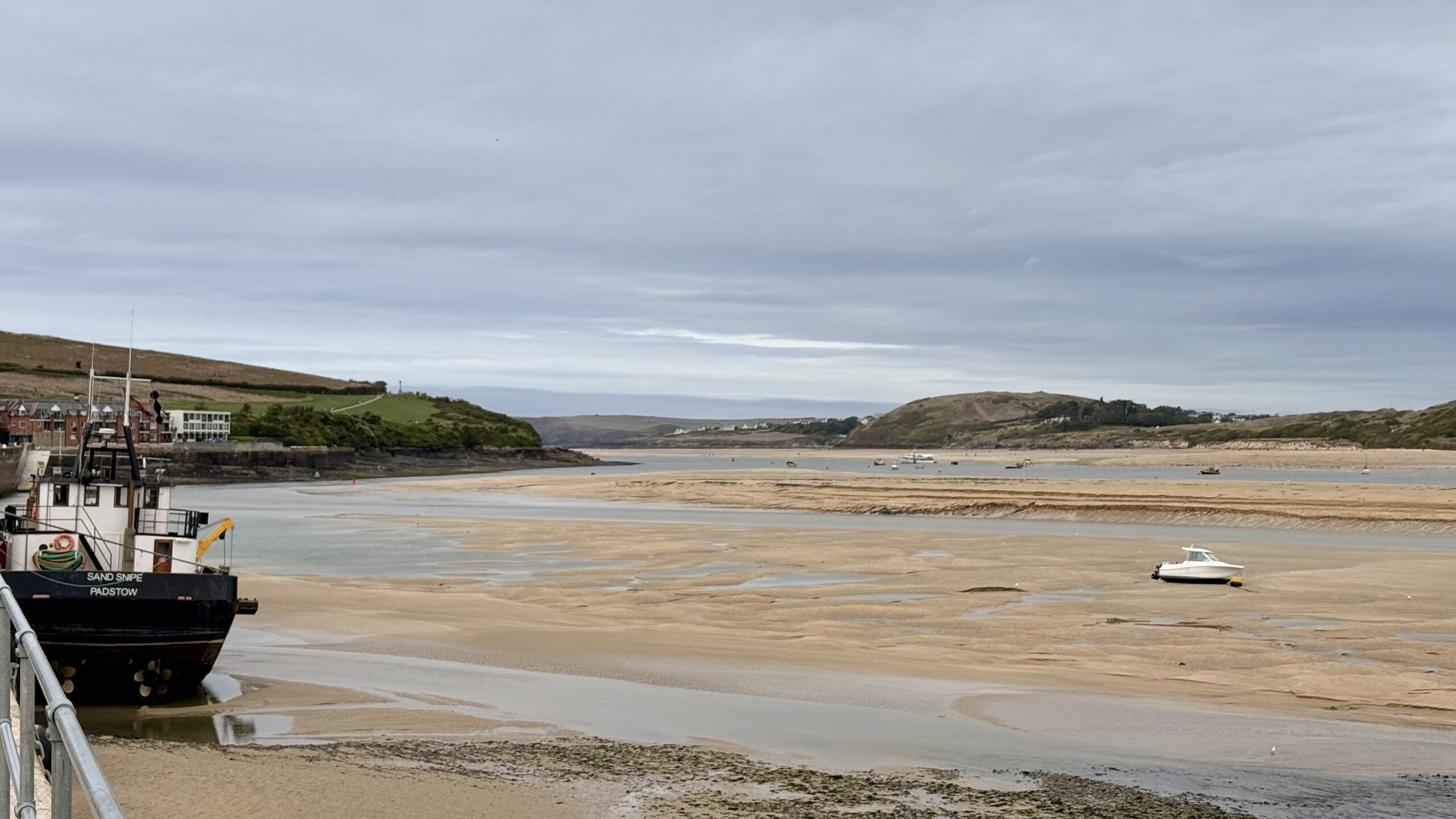
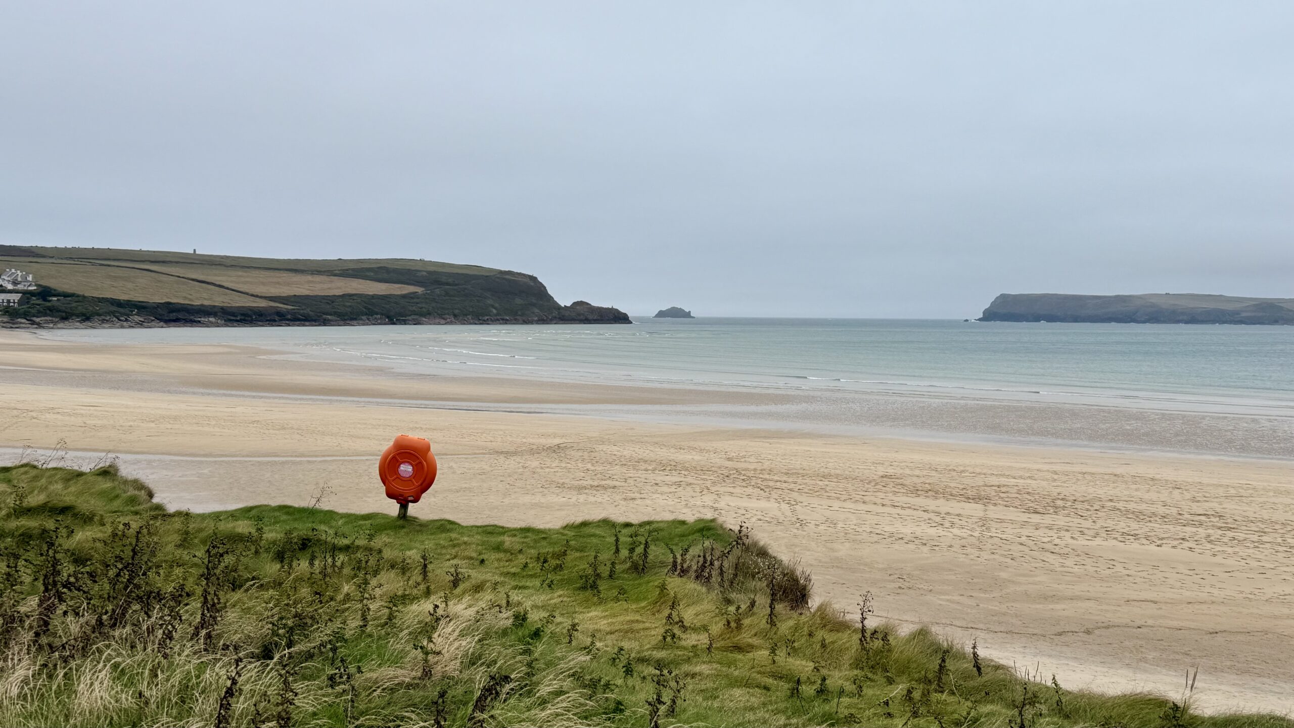
Contrary to expectations, we had good wind during the night and Tiamat flew across the Bristol Channel. Towards the end, we had to reef to slow down and waited in Padstow Bay for daylight. The harbourmaster gave us a warm welcome and let us into the harbour after a short wait. We even had a spot on the quay all to ourselves.
Passage: Padstow → St. Ives
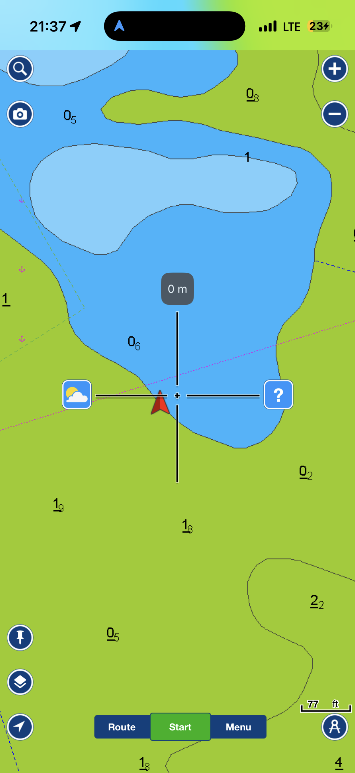
A week later, at neap tides, we faced a choice: either leave the harbour on Saturday morning (and anchor outside because the weather was too poor to move on) or stay in Padstow for another two days. At neap tides, the high-water levels were not high enough to open the gate, so the tidal gate remained closed.
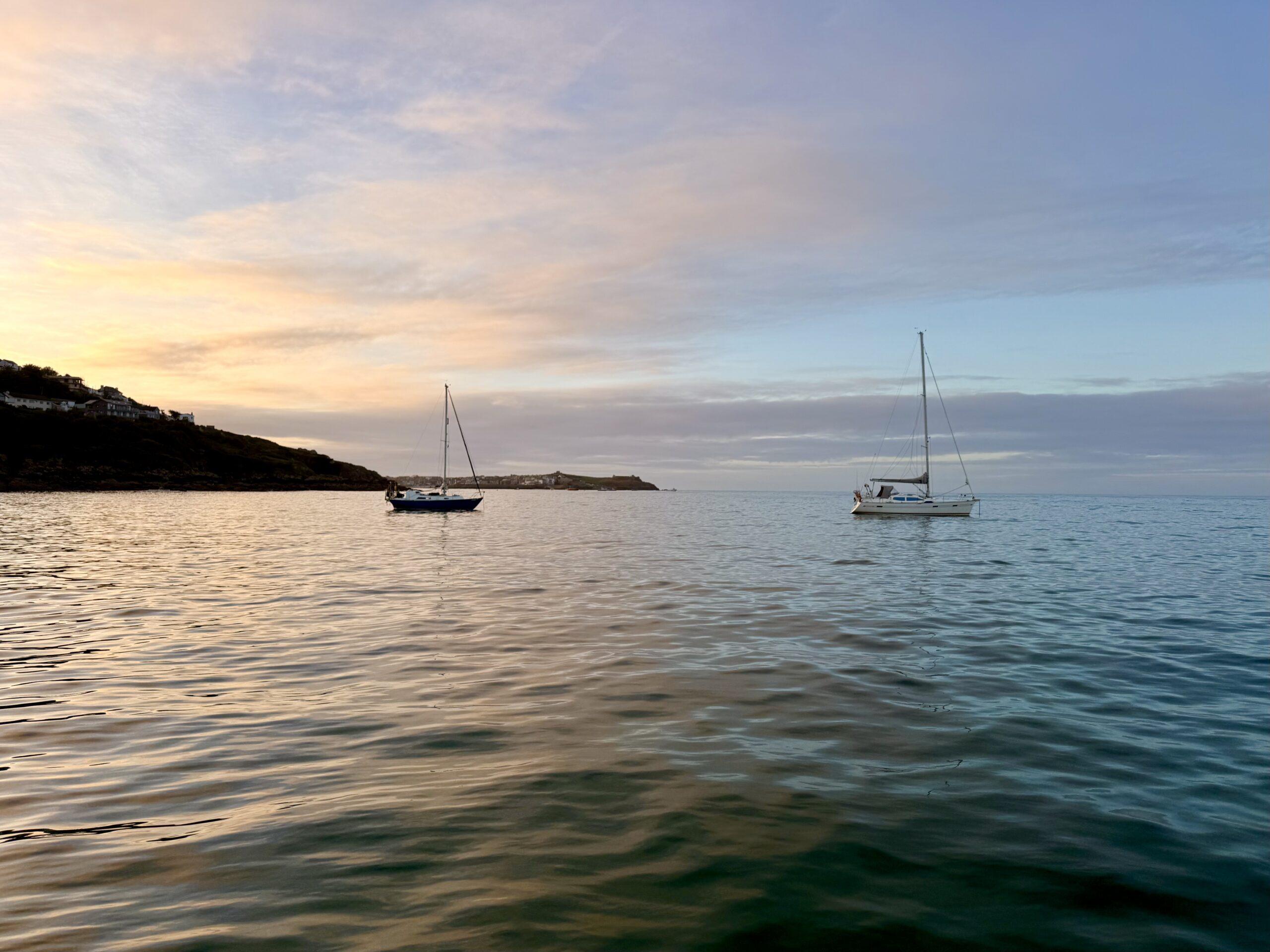
That was too long for us. We wanted to make the most of the weather over the coming days. I made a quick trip to Tesco to buy bread, and at 11am the harbour team »kicked« us and five other boats out of the harbour in record time. Our day at anchor was rainy, so we stayed aboard and made ourselves comfortable. On Sunday, we headed to St. Ives, or rather Carbis Bay, in sunshine but sadly without any wind.
Passage: St. Ives → Newlyn
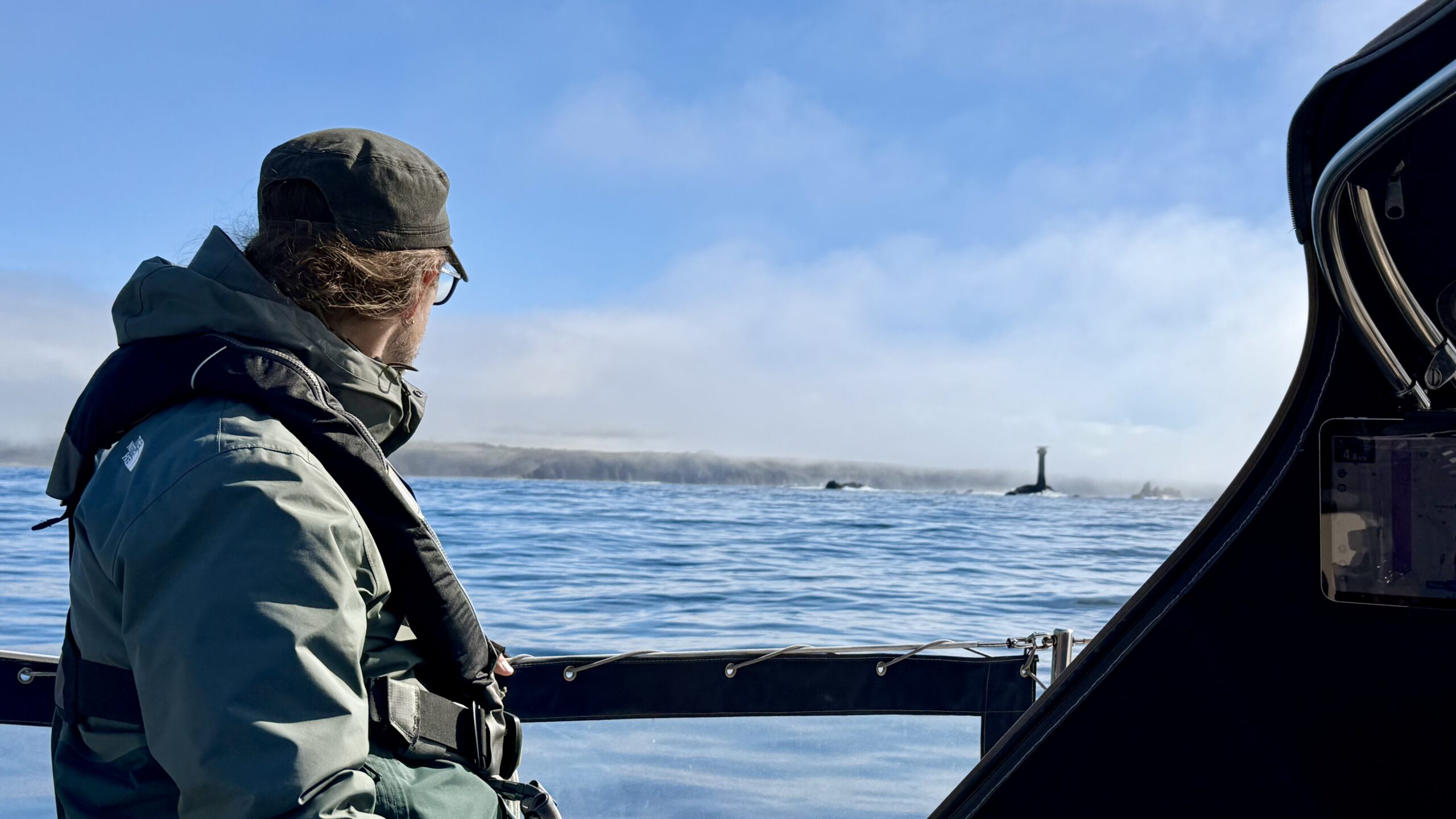
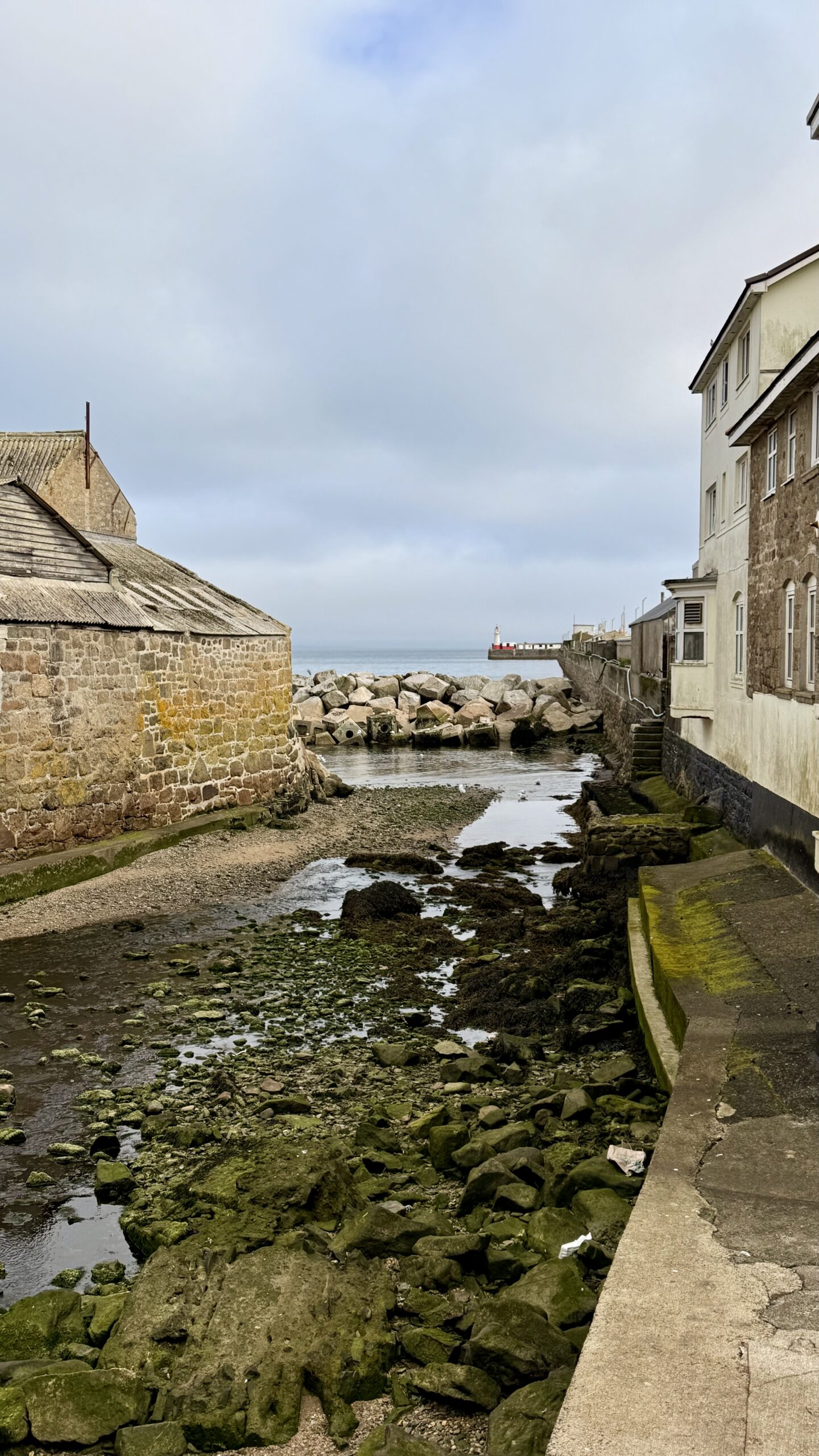
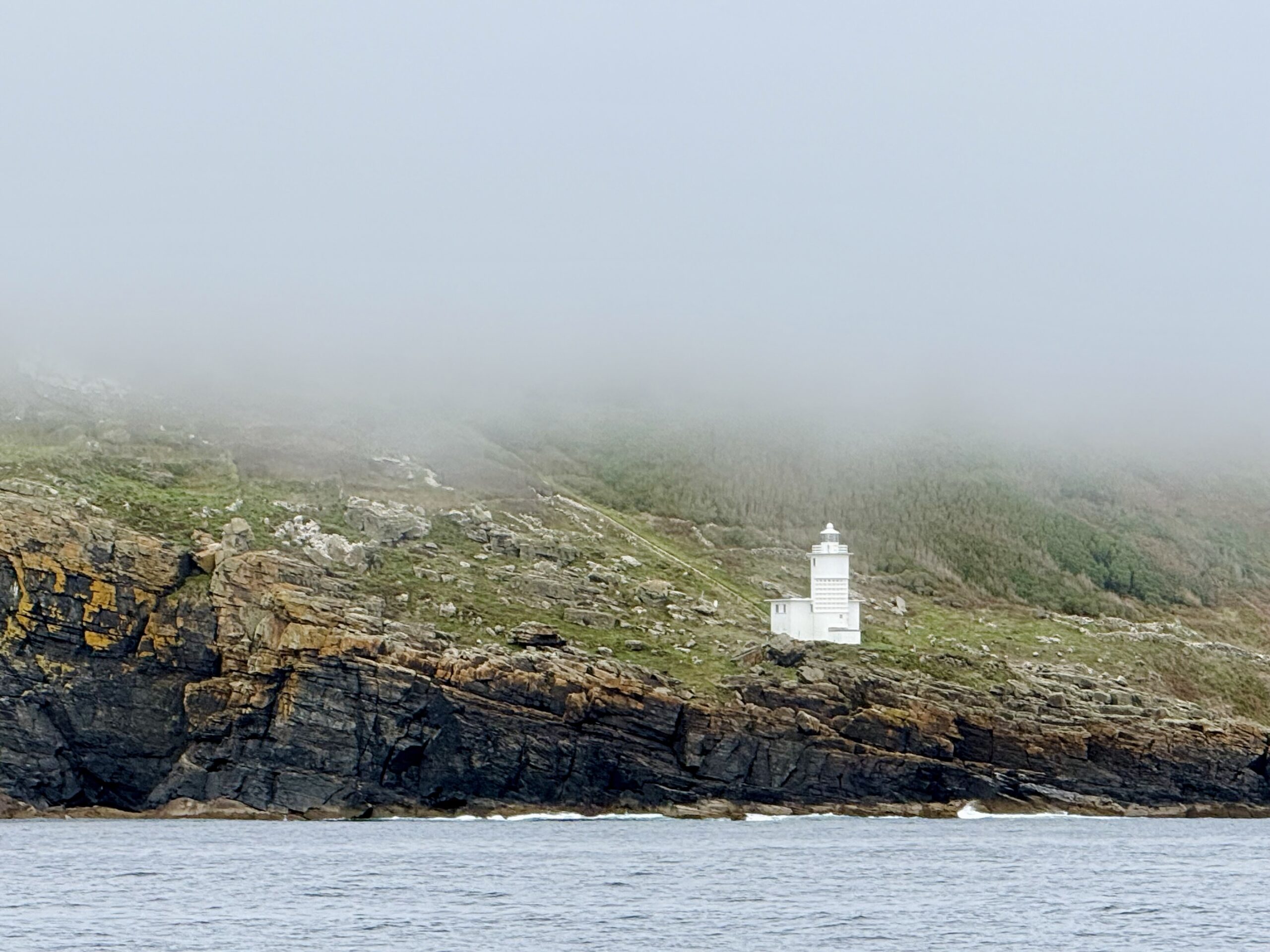
After a rolly night — Carbis Bay is notorious for quite a lot of swell even in light winds — we set off early in the morning at high water Dover to reach the Runnel Stones at the recommended time (approx. HW Dover +5). A look out of the window was sobering: it was foggy, so we probably wouldn’t be able to take the inner passage between the headland and the Longships, but would have to give them a wide berth instead. A shame, because that meant we still had quite a lot of tide against us. But in that weather, we didn’t want to risk it. And of course, there was hardly any wind either. We didn’t see much of that fantastic stretch of coastline, but we arrived in Newlyn in glorious sunshine.
🗺️ Memorable moments & lessons learnt
- Flying across the Bristol Channel under a star-filled night sky and counting shooting stars.
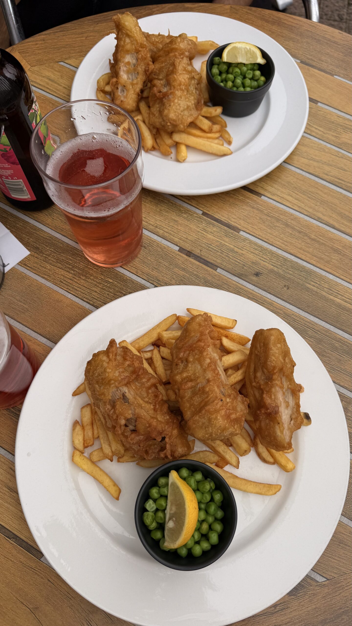
- Two lovely evenings in the pub with a wonderfully mixed group of sailors: Brits, Germans, a New Zealander, a Venezuelan woman and a Portuguese woman. These encounters along the way are always such a joy.
- Rounding Land’s End and Cape Cornwall
⚓ Our favourite place on this trip
- Padstow
💡 Practical tips for fellow sailors
- Alongside the usual tide tables, the »Absolute tides« app also provides the Reeds tidal stream charts with the correct times for each day. This feature saved us fiddling around with sticky notes in the almanac.
- Cornwall’s coast is beautiful, but it has one drawback: there aren’t really many harbours with sufficient depth along the north coast, and with Cornwall’s south-westerly position, sheltered anchorages are virtually non-existent when there is Atlantic swell and/or a northerly wind.
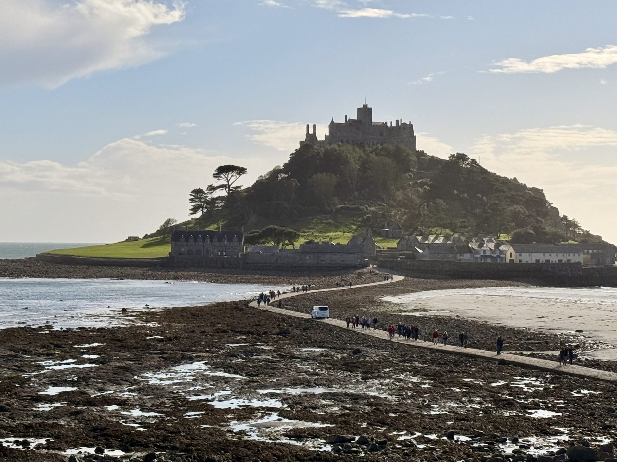
- Unfortunately, that means exploring a little more of Cornwall by land. Luckily, the bus network is perfect for that. With a day ticket (£10, available in the app), you can travel as much as you like on all routes from the morning until 3 am.
🖼️ Gallery